This is the country the Smart Growth Alliance exists to look after: the escarpment and the valleys below it, the farmland on the valley floor, the wattle and grass trees along the ridges, and the quiet roads that link our villages together. Photographs say what a submission sometimes can't.
-
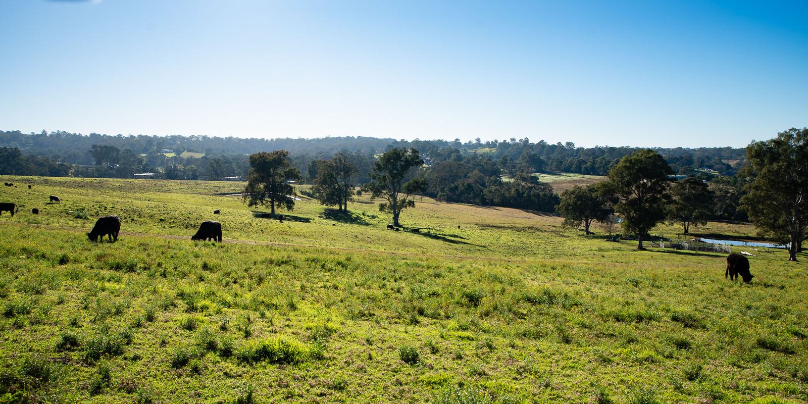
Photo 1 of 13Open pasture on the valley floor — the rural land our planning rules set aside for farming. -
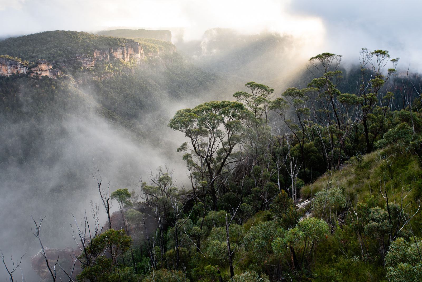
Photo 2 of 13Cloud lifting out of the valley after overnight rain. -
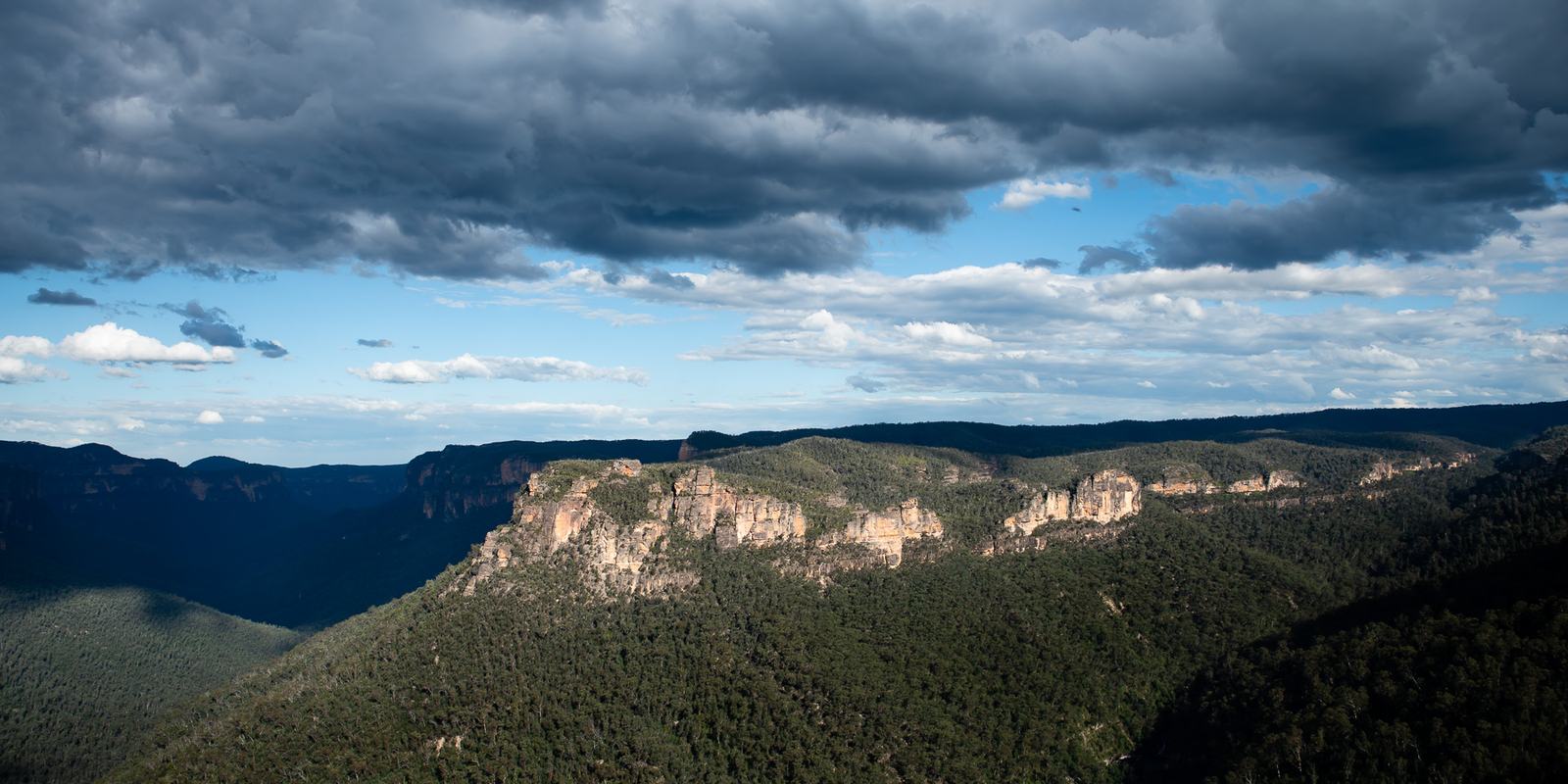
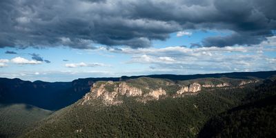
Photo 3 of 13Storm light along the escarpment. -
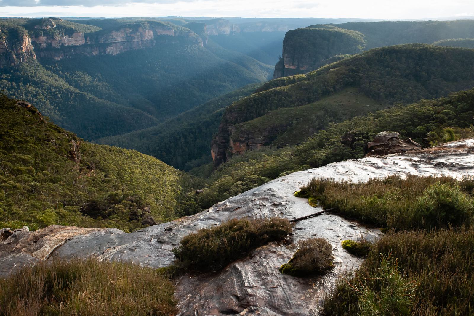
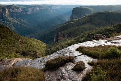
Photo 4 of 13The view from the sandstone, out over unbroken bushland. -
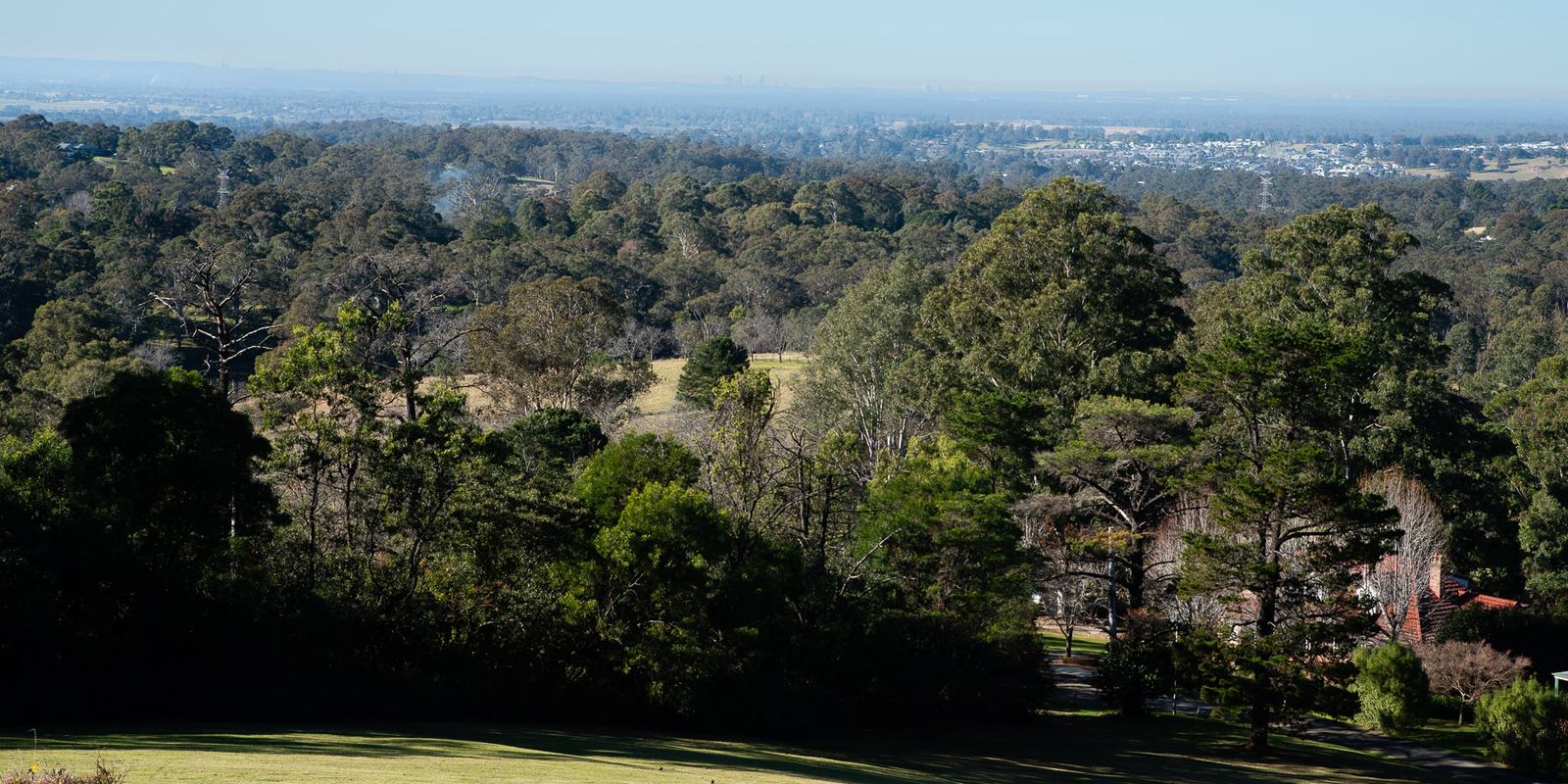
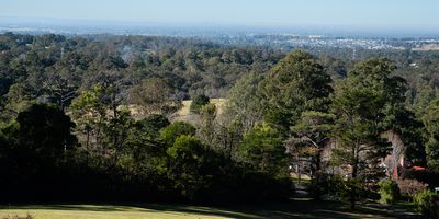
Photo 5 of 13Where the bush gives way to the plain — and, far off, the city. -
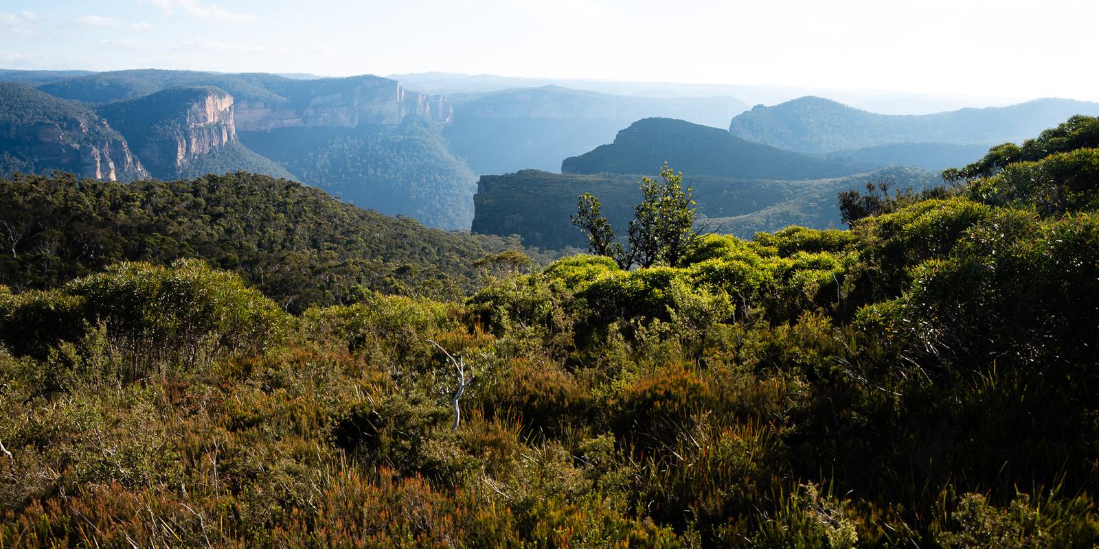
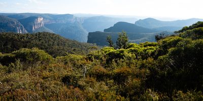
Photo 6 of 13Heath country on the ridge tops, looking across the gorge. -
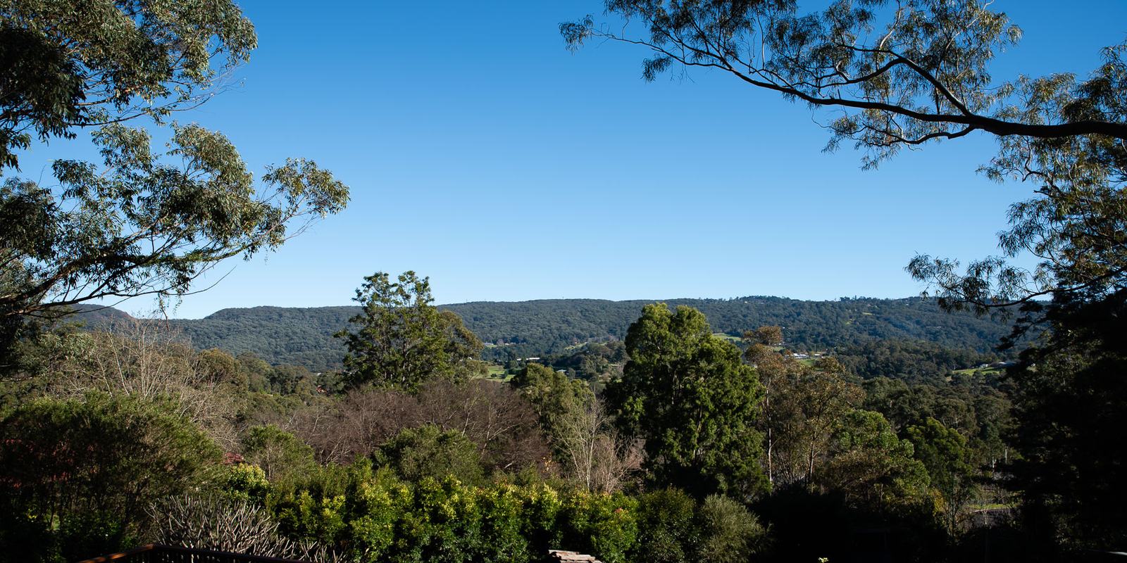
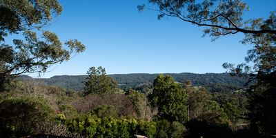
Photo 7 of 13Homes among the trees, with the ridgeline still the tallest thing in view. -
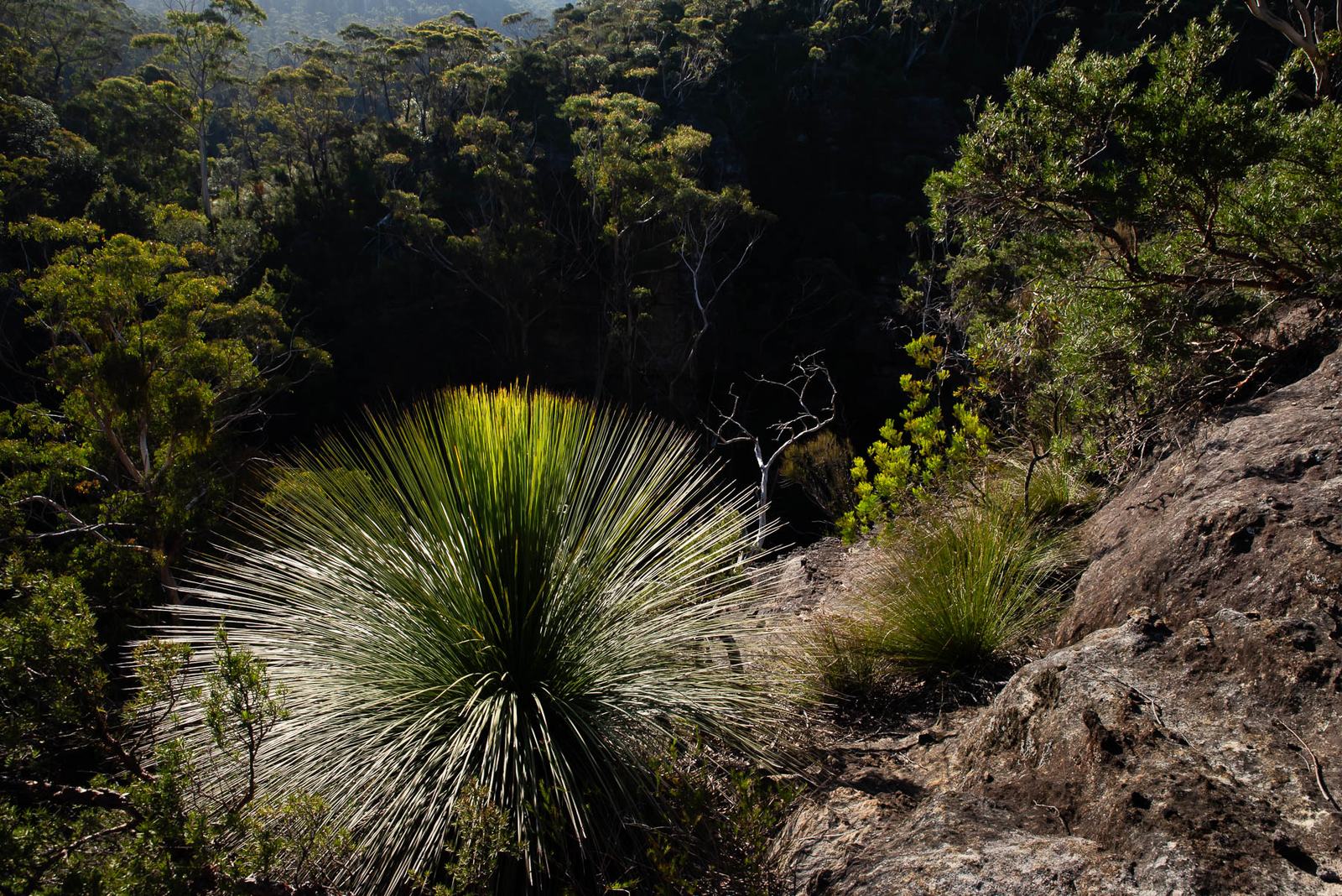
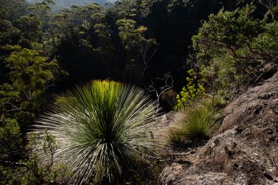
Photo 8 of 13A grass tree on the sandstone — slow-growing, and older than most of us. -
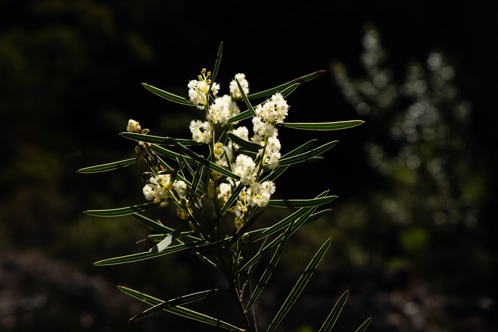
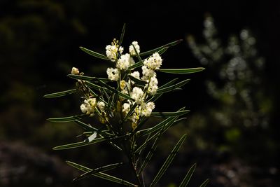
Photo 9 of 13Wattle in blossom. -
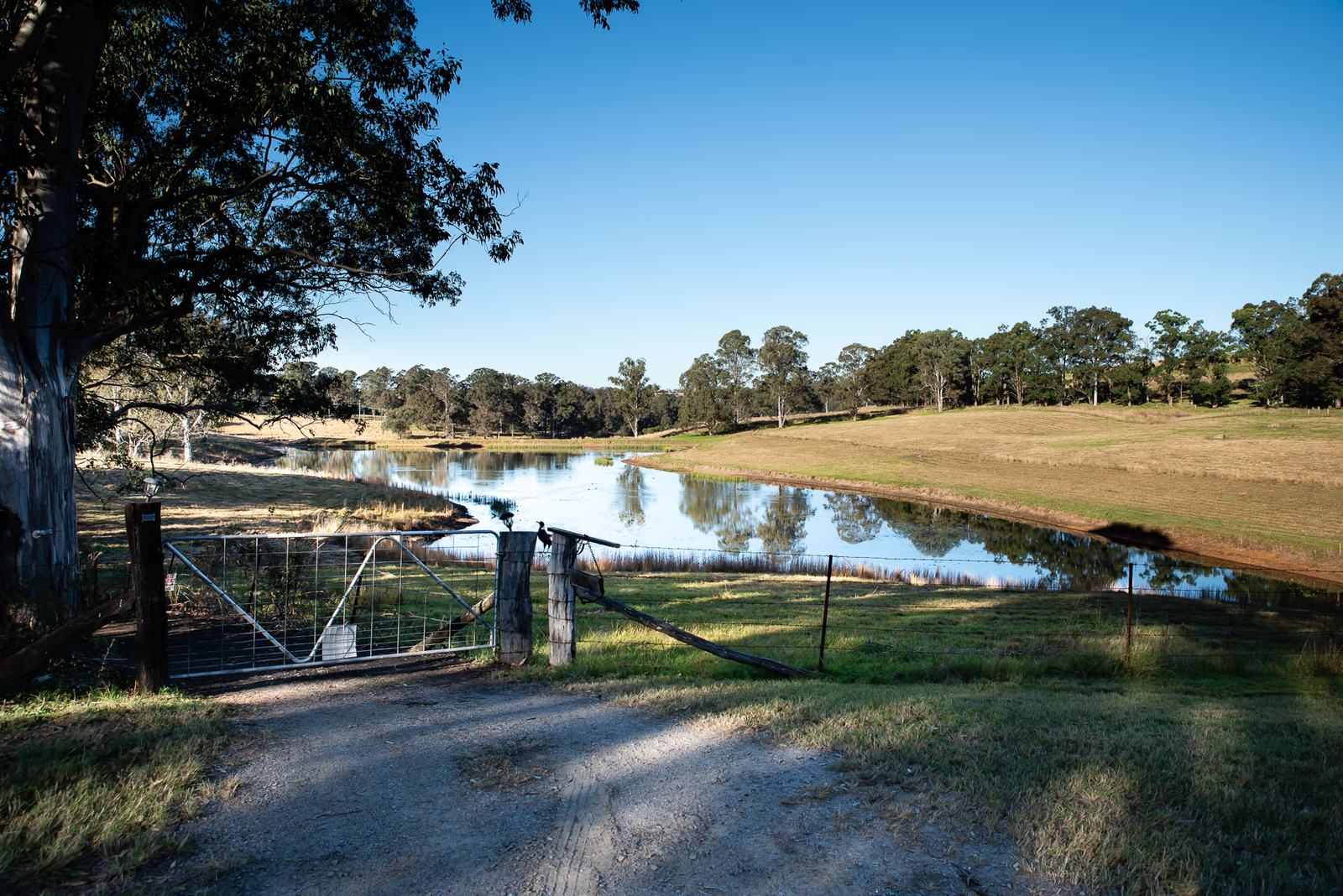
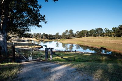
Photo 10 of 13A farm dam at the end of Yeomans Lane, just down the hill from the proposed development. -
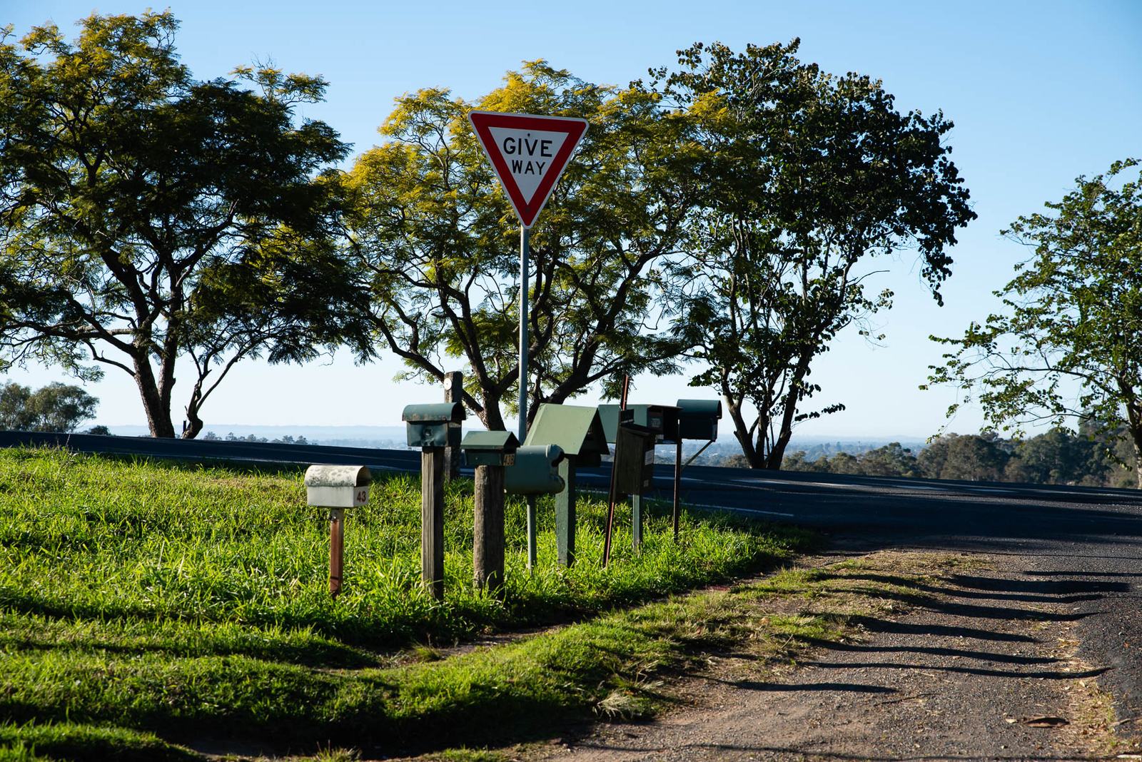
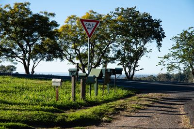
Photo 11 of 13Letterboxes at the entrance to Yeomans Lane, on the corner of Bells Line of Road. -
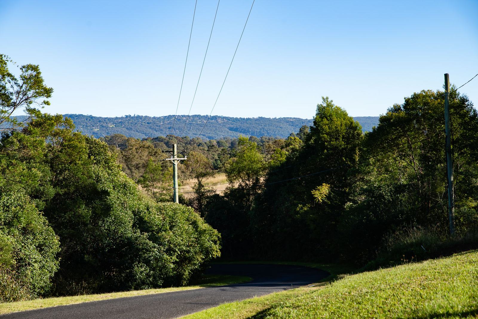
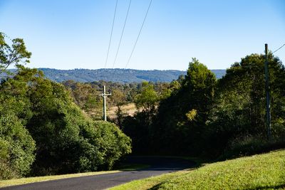
Photo 12 of 13View from the top of Yeomans Lane. -
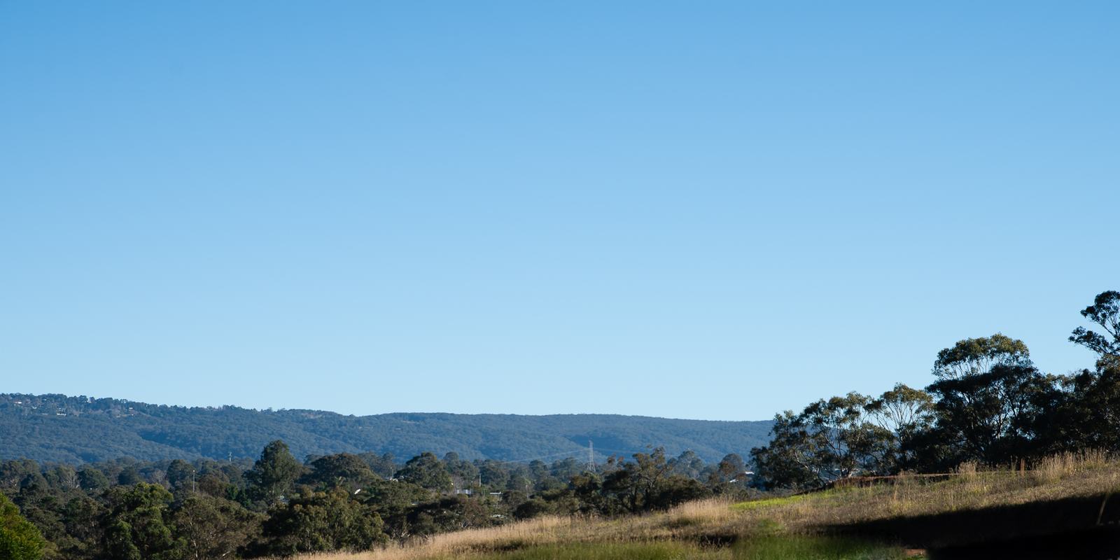
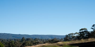
Photo 13 of 13Actual view of the proposed development site at 291 Bells Line of Road, Kurmond.
All photographs
Choose a photograph to open it in the viewer above.
Have a photograph to share?
Locals see things visitors never do: koalas crossing at dusk, fog sitting in the gullies, the paddocks after rain. If you have photographs of the region, or of local wildlife, that you would be happy for us to use, we would love to see them. Email info@smartgrowthalliance.com, and please tell us how you would like to be credited.